UPdiKo: The Campus Map That Knows Miagao Better Than a General Map Ever Could
A local navigation stack for UP Visayas that blends offline caches, Supabase, Leaflet, and a Miagao-specific AI guide into one practical system.
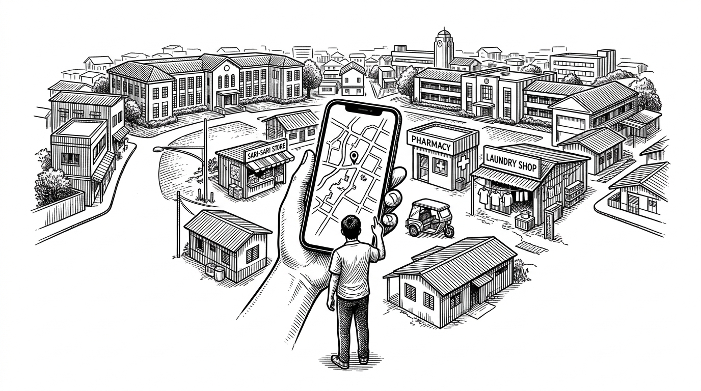
- UPdiKo’s real product is local knowledge, not a prettier map canvas.
- Its offline-first cache makes the app useful in weak-signal places where a live lookup would fail.
- Casie works because the AI is narrowly scoped to Miagao, which makes it more reliable than a generic chatbot.
- The codebase favors clarity over framework complexity, which makes the project easier to extend and maintain.
The Map Global Platforms Miss
UPdiKo is not trying to out-Google Google Maps. It is trying to solve a smaller, harder problem: how do you navigate a place when the places that matter are the ones global platforms tend to miss?
On a campus and in a town like Miagao, the useful unit is not a highway exit or a chain store. It is the sari-sari store near the gate, the tricycle stop, the laundry shop, the pharmacy, the shortcut between buildings, the thing people actually ask for when they are late, lost, or hungry.
That is the real thesis here. UPdiKo is a community-built navigation system for a place that needs local resolution more than global scale.
UPdiKo’s Real Product Is Local Knowledge
The map is only the surface. The moat is the data: curated locations, photos, tags, and local establishments that turn a campus app into a usable directory of daily life.
| What you need | Generic map app | UPdiKo |
|---|---|---|
| Landmark coverage | Broad, uneven, often missing small local places | Dense, campus-specific, and Miagao-aware |
| Local search | Built for universal categories and large-area queries | Built for the names and habits people in Miagao actually use |
| Offline usefulness | Limited unless the right data was already cached | Designed to stay useful with local storage and background refresh |
| Trust model | Depends on global completeness | Depends on local curation and community-maintained detail |
| Knowledge scope | Everything, everywhere | Narrow on purpose |
That narrowness is the point. A local map becomes valuable when it knows what not to include, because the best answer is often not more geography. It is the exact place a person meant.
How It Still Works When the Network Doesn’t
The technical trick that matters most is simple to say and easy to get wrong: serve from local storage first, refresh from the backend when needed, and never block the user on a weak connection.
In practice, this means the app can open, search, and render useful location data even when connectivity is poor. IndexedDB gives the browser a local memory. Supabase acts as the source of truth when the app can reach it.
That is a better experience than a map that simply gives up. It also matches the reality of campus life, where the network may be inconsistent long before the need for directions disappears.

Casie Turns Questions Into Places
Casie is the project’s most visible AI feature, but the important detail is not that it chats. It is that it stays local in scope.
Instead of behaving like a general assistant, Casie is constrained to Miagao and wired toward structured lookup behavior. That matters because a map assistant is only useful if it can resolve a vague request into an actual place.
In the repo, that means Gemini function calling feeds a search path like search_locations, which turns natural language into a database query. The effect is less “talk to an oracle” and more “ask a knowledgeable local guide who knows what can be found nearby.”
User asks: "Where can I buy medicine?"
Casie interprets intent
→ search_locations(category: pharmacy, area: Miagao)
→ rank local matches
→ return specific places the map can actually show
That constraint is the win. Narrowing the model’s job makes it less impressive on a benchmark and more useful in a town.
A Simple App Shell, Not a Framework Maze
The architecture follows the same discipline as the product. The codebase seems built to stay legible to contributors who need to move fast, not to impress them with abstraction.
Rather than hiding navigation behind a heavy routing system, the app uses a central section switch in App.jsx. That keeps the state flow visible, which is a good trade when a small team needs to share services and iterate quickly.
The folder structure reinforces that choice. Pages hold high-level views. Components handle reusable UI and map logic. Services isolate data access, caching, and AI calls. The result is not fancy, but it is readable.
That readability matters more than people admit. For a project built around a local community and an academic workflow, clarity is not a compromise. It is part of the product.
What UPdiKo Chooses Not to Be
UPdiKo is the opposite of a generic map app plus a generic chatbot. It does not try to know everything. It tries to know one place extremely well.
| Dimension | Generic map plus chatbot | UPdiKo |
|---|---|---|
| Breadth | Broad, multilingual, and general-purpose | Narrow, local, and intentionally scoped |
| Answer quality | Often accurate at a city level, weak at a micro-local level | Optimized for campus-level and town-level precision |
| Offline behavior | Usually secondary | Core to the experience |
| AI behavior | Open-ended conversation | Constrained search through local places |
| Source of trust | Platform scale | Community-specific data and curation |
That tradeoff is why the project feels bigger than a student app. It is a small example of a larger pattern: local groups building digital infrastructure that reflects local reality better than a universal product can.
Why This Pattern Scales Beyond One Campus
The lesson is not that every town should build its own map from scratch. The lesson is that community-owned knowledge, offline-first storage, and tightly scoped AI can combine into something more reliable than a one-size-fits-all platform.
That pattern is portable. Another campus, another rural municipality, another low-connectivity district could use the same idea: keep the scope small, keep the data local, and make the assistant answer real questions instead of generic ones.
UPdiKo is interesting because it treats local detail as infrastructure. Once you see that, the rest of the stack stops looking like a demo and starts looking like a civic tool.